Working with spatial/GIS data
Spatial data is a geometry or geography value that can be represented on a map or a graph. A geometry object consists of a series of points. Please find more details here.
CloudBeaver's support of spatial data covers the following databases:
- PostgreSQL (PostGIS.md)
- MySQL
- SQLite (GeoPackage.md)
- H2GIS
- SAP HANA
- Oracle

- SQL Server
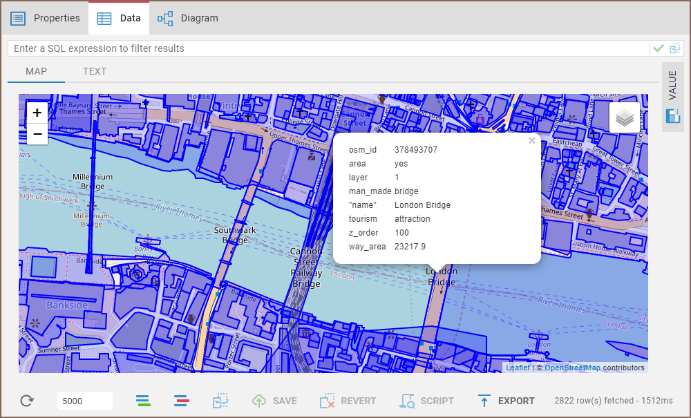
Spatial data viewer
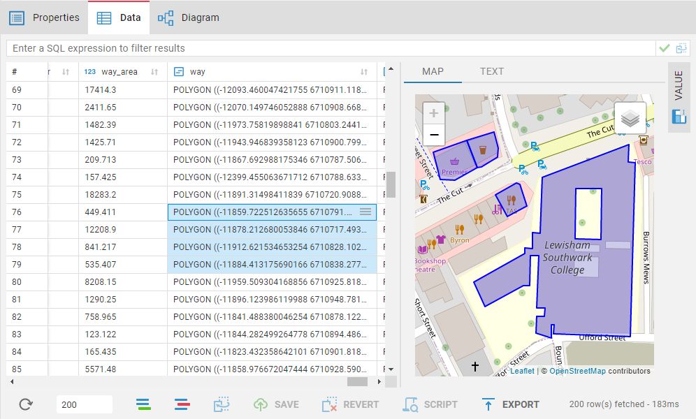
If you click on an object on the map, the following data (strings, numbers, dates etc.) from every other column in the corresponding row will be displayed.