Working with Spatial GIS data
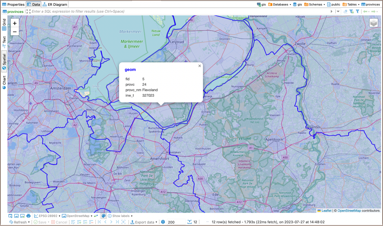
Spatial data
Spatial data is geometry or geography value which can be represented on a map or as a graph. Geometry object consists from a series of points. More details.
Spatial data viewer

Converting longitude/latitude to geography points
Generally any combination of longitude/latitude (as float point numbers) can be represented as geometry value.
Supported databases
- PostgreSQL (PostGIS.md)
- MySQL
- H2GIS
- SAP HANA
- Oracle

- SQL Server